
Welcome to Costa Rica, a StoryMap in Imagining Central America: Short Histories (published by the University of Cincinnati Press).
In this StoryMap, you will find maps, images, videos, and descriptions to enhance your reading of the Costa Rica chapter in Imagining Central America, which can be found here . This StoryMap offers an interactive, immersive experience -- feel free to scroll through the tabs or click on a point on the map to access the images and descriptions. Videos begin playing automatically, and you can enter full-screen to view them more closely. Enjoy your exploration of Costa Rica!
In this map, you can see the country of Costa Rica highlighted in red. Use the arrows in the top right corner to enter full-screen, click and hold to move the map, and zoom in and out to explore Costa Rica and the rest of Central America. The home button will re-center the map.

San José
San José. Click to expand.
San José is the capital of Costa Rica, as well as its largest city. Founded in 1736 in the very middle of the Central Valley, it has long served as a hub for commerce and transportation throughout the country. San José is considered one of Latin America's safest and fastest growing cities.

San José Skyline
San José Skyline. Click to expand.
A panoramic shot of San José's skyline.

Downtown San José
Downtown San José. Click to expand.
An overhead shot of downtown San José.

National Museum
National Museum. Click to expand.
The National Museum of Costa Rica in San José.

National Theater
National Theater. Click to expand.
The National Theater in San José.

Tour Through San José
Tour Through San José. Click to expand.

Daily Life in San José
Daily Life in San José. Click to expand.

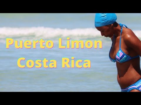
Puerto Limón
Puerto Limón. Click to expand.
Puerto Limón, or simply Limón, is Costa Rica's seventh largest city and a major port city for exporting goods and docking cruise ships. Historically, it was a hub for Chinese and Jamaican laborers, and today remains a city with one of the largest Afro-Costa Rican communities.

Houses in Limón
Houses in Limón. Click to expand.
A shot of houses near the beach in Puerto Limón.

Playa Bonita
Playa Bonita. Click to expand.
Playa Bonita, a beach in Limón.
Driving Tour Through Limón
Driving Tour Through Limón. Click to expand.

Isla del Caño
Isla del Caño. Click to expand.
Isla del Caño is a small island off of Costa Rica's Pacific coast. It is a popular ecotourist destination, and has been established as a protected national park. Isla del Caño is also home to some of Costa Rica's most famous artifacts: stone spheres that were found on the island are evidence of pre-Columbian communities living there.

Isla del Caño
Isla del Caño. Click to expand.
A shot off the shores of Isla del Caño.

Stone Sphere
Stone Sphere. Click to expand.
One of the stone spheres carved by the Disquis culture at Isla del Caño.

Tour of Isla del Caño
Tour of Isla del Caño. Click to expand.
Thank you for visiting the Costa Rica StoryMap in Imagining Central America: Short Histories! As you continue through the book, check out the other StoryMaps supplementing each chapter to enjoy an immersive experience of each country. If you have questions or comments for the authors or other readers, you can leave a message on the Costa Rica StoryMap resource page, found here . Enjoy your interactive tours through the rest of Central America!
