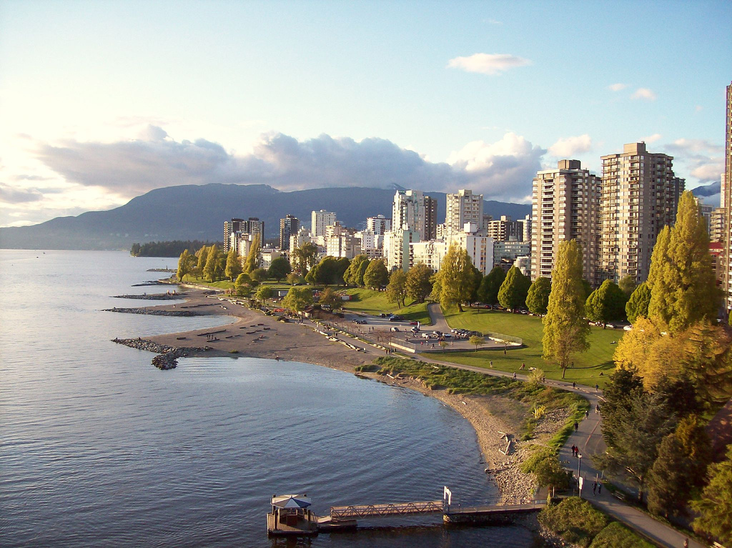
Metro Vancouver Green Space
Do densely populated areas lack access to green space in Metro Vancouver?
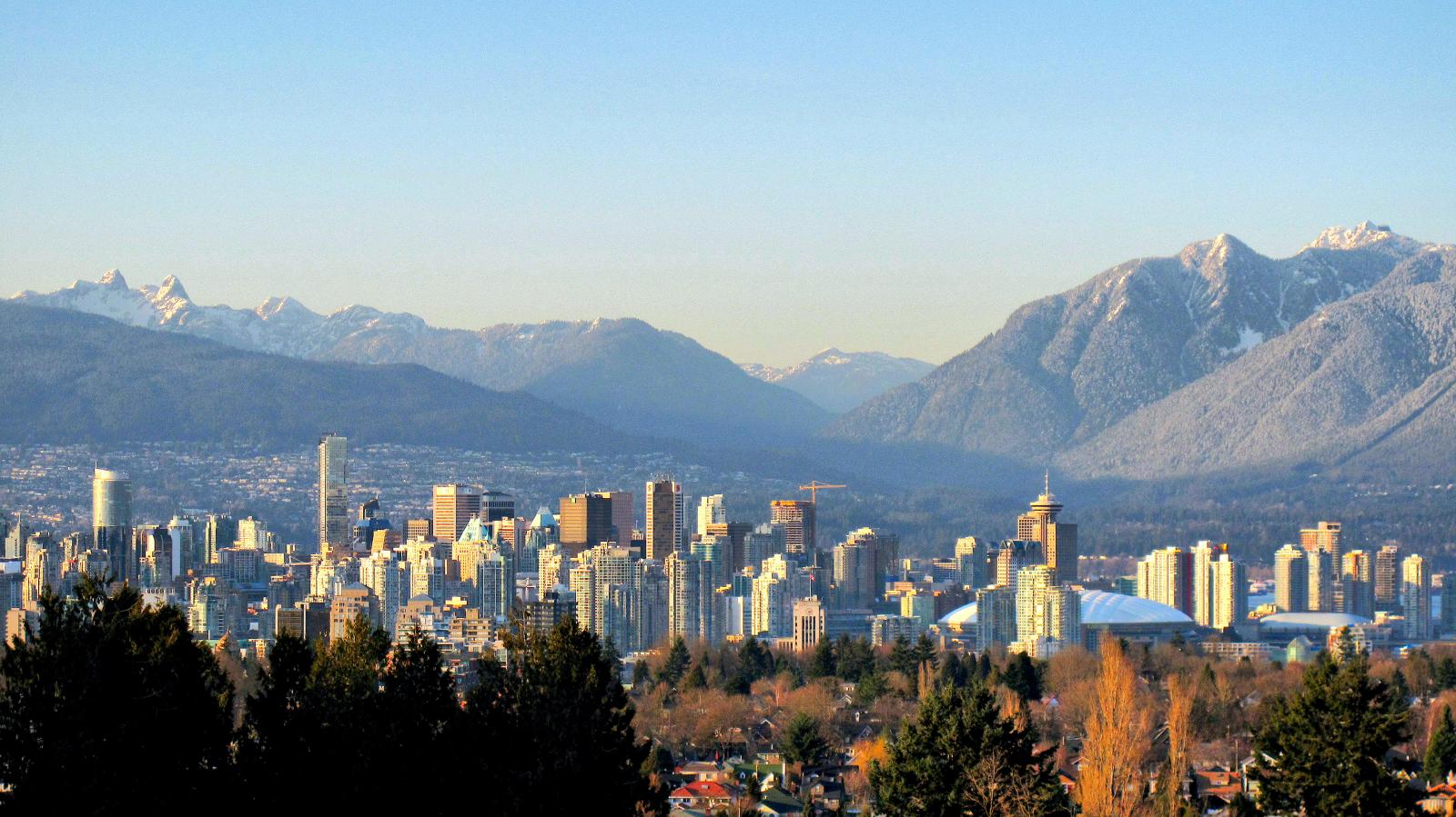
Skyline of Vancouver from Queen Elizabeth Park source: By Kyle Pearce/ DIY Genius - https://www.flickr.com/photos/keepitsurreal/3348972199/, CC BY-SA 2.0, https://commons.wikimedia.org/w/index.php?curid=86400743
Green space is an umbrella term used to describe environmental areas, such as reserves, wilderness environments and urban parks. Often, in urban contexts, green spaces are designated for their recreational or aesthetic purposes.
Based on research, the positive impacts of urban green spaces on mental health and wellbeing are promising. The World Health Organisation (WHO) states that urban green spaces are a “necessary component for delivering healthy, sustainable, liveable conditions” and has highlighted the need to support more effective urban planning.
In addition, the United Nations (UN) has projected the global urban population to rise to 68% of the world's population by 2050. As lands are cleared and used to increase housing capacity to hold up with the process of urbanization , what are the impacts of urban growth on urban green space?
Therefore, this analysis aims to investigate the relationship between population density and percentage of green space in Metro Vancouver.
In 2011, the City of Vancouver announced its goal of becoming the greenest city in the world by 2020.
One of the key targets set out in the plan is to have all Vancouver residents living within a five-minute walk (or a 400m radius) of a park, greenway or other green space by 2020.
However, will the percentage of green space decrease as the population density increase? Here, we will discuss the relationship between population density and green spaces in Vancouver.
This map shows the 2016 population density of Metro Vancouver.
From the legend, we see that downtown Vancouver (darkest red) has the highest population density per square kilometer.
Next, we analyze the differences between percentage of green space in densely populated areas (dark red regions) and less dense areas (light yellow regions).
Here, this map shows the percent of green space of Metro Vancouver in 2016.
As we zoom into downtown Vancouver (and click on the yellow regions), we observe that the percent of green space can be as low as 7 %. While in the less populated areas, the percent of green space is much higher in average.
From this GIS analysis, we can conclude that there's a correlation between population density and percentage of green space in Metro Vancouver. Areas that are more densely populated, such as downtown Vancouver, have less green space in comparison to other regions that are less populated such as South Vancouver.
However, further research is needed to investigate other factors affecting the distribution of green space in recent years in order to make a more reliable projection on the changes in the percentage of green space as it is affected by population growth, especially in urban settings.

