Kitsap County, Washington
Comprehensive Plan
Where are the Urban Growth Areas Located?

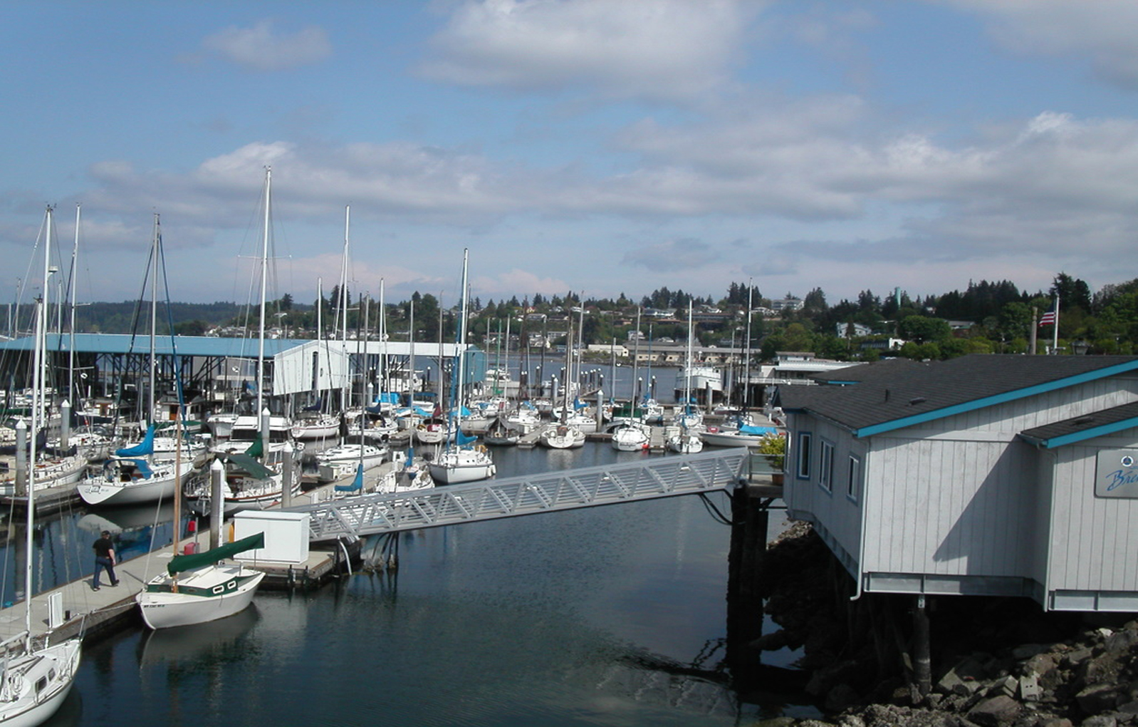
City of Poulsbo

City of Bainbridge Island
City of Bremerton
City of Port Orchard

Bremerton East UGA

Bremerton West UGA

Central Kitsap

Gorst UGA
Kingston UGA

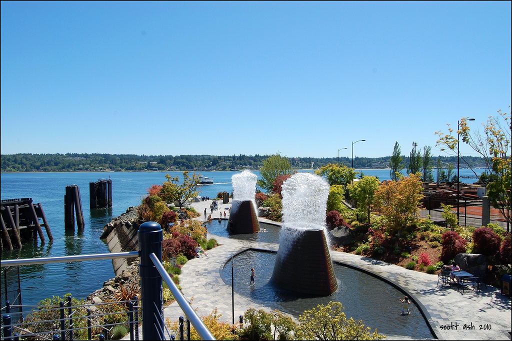
Silverdale UGA

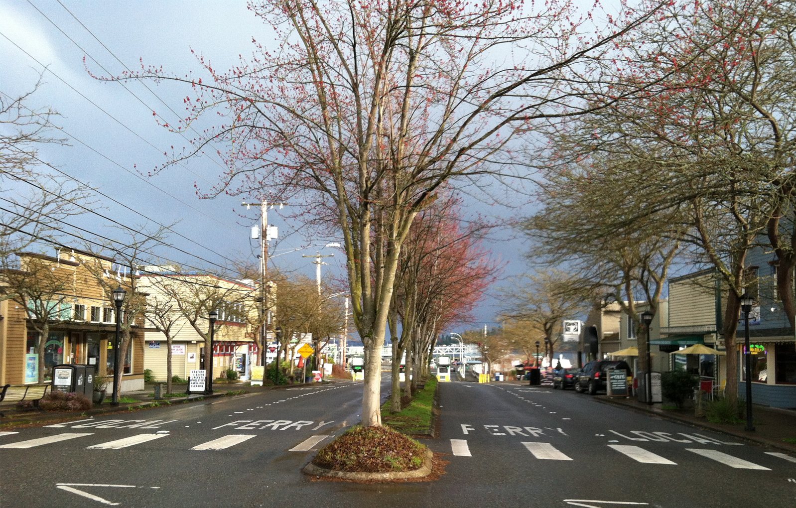
Poulsbo Urban Growth Area (UTA)

Port Orchard UGA

Puget Sound Industrial Center - Bremerton
Rural Areas
Rural Areas
Rural areas and communities where unique historical characters, appearances, functions, and pioneering spirits are retained and enhanced.
Rural Areas
Natural resource activities, such as forestry, agriculture, and mining continue to contribute to the rural character and economy
Rural Areas
Rural recreation opportunities are enhanced, including equestrian facilities, trails, and others.
Housing and Human Services
Housing and Human Services
Residential communities that are attractive, affordable, diverse, and livable supported by appropriate urban or rural services. A variety of housing choices are available, meeting a full range of resident income levels and preferences.
Housing and Human Services
Residents are able to walk or use multi-model transportation options between neighborhoods and to community destinations. Policy guidance or program support for the county’s most at-risk populations
Open Space
Open Space
An open space network – including greenbelts, wildlife habitat, forested areas, and active and passive parks – that is accessible, interconnected, provides opportunities for recreation and defines and distinguishes urban and rural areas.
Economic Development
Economic Development
A stable, prosperous and diversified economy that provides living wage jobs for residents, supported by adequate land for a range of employment uses and that encourages accomplishment of local economic development goals.
Environment
Environment
Natural ecosystems including interconnected wetlands, streams, wildlife habitat, and water quality that are rehabilitated, protected and enhanced and that allow for flexible and innovative development to meet environmental and growth goals.
In developed areas, the growth pattern supports conservation of non-renewable energy and minimizes impacts on air quality and climate.
Transportation
Transportation
An efficient, flexible, and coordinated multi-modal transportation system – including roads, bridges and highways, ferries, transit, and non-motorized travel – that provides interconnectivity and mobility for county residents and supports our urban and rural land use pattern.
Public Service and Facilities
Public Service and Facilities
Public services and facilities – including, but not limited to, parks and recreation, law enforcement, fire protection, emergency preparedness, water/sewer, roads, transit, non-motorized facilities, ferries, stormwater management, education, library services, health and human services, energy, telecommunications, etc. – are provided in an efficient, high-quality and timely manner by the County and its partner agencies.
Public services and facilities are monitored, maintained and enhanced to meet quality service standards.
County Government
County government that is accountable and accessible; encourages citizen participation; seeks to operate as efficiently as possible; and works with citizens, governmental entities and tribal governments to meet collective needs fairly while respecting individual and property rights.
How often does the Comprehensive Plan get changed?
Major Comprehensive Plan updates are mandated by the state every eight years
Between major updates, the County may choose to consider minor amendments to the Plan on an annual basis.
Other amendments, such as to resolve an appeal, can be processed at any time.
How does the comprehensive plan affect me?
A Comprehensive Plan allows the public to voice how it wants Kitsap County to look and function in the future.
Throughout the scoping, development and analysis process of the Plan, the County will look to its citizens to help determine the Plan's goals and objectives by capturing the priorities of a community, and by listening to the communities visions on shaping it's appearance for the future.
How Do I Get Involved?
for Kitsap County's Electronic Notification System to get email or text updates.
Select the Comprehensive Plan listed under Community Development!
Kitsap County, Washington


