Russell Cave National Monument
GLO Record of the Week for May 7, 2023
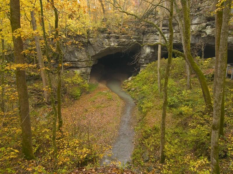
This week, the General Land Office features a survey plat that displays the boundaries of the Russell Cave National Monument in Alabama. The Russell Cave is a fascinating and magnificent natural wonder that shows evidence of the early inhabitants of the Americas dating back at least 10,000 to 14,000 years!
Below is a 3D scene of the survey plat showing the Russell Cave National Monument. Feel free to use the different map controls to explore the terrain in 3D!
The survey was executed by Cadastral Surveyor Gilbert V. Olson beginning on February 1, 1971. Olson completed the survey on February 7, 1971.
The rock that formed the Russell Cave dates back to 300 million years ago. The Cave itself was the result of gradual acidity in rainwater causing parts of the limestone to dissolve. A sinkhole also formed and collapsed exposing the cavern 9,000 to 12,000 years ago.

Russell Cave had inhabitants in many different eras including:
The Paleo-Indian Period which was 10,000 to 14,500 years ago;
The Archaic Period which was 3,200 to 11,450 years ago;
The Woodland Period which was 1,000 to 3,200 years ago; and
The Mississippian Period which was 500 to 1,000 years ago.

Each one of the indigenous peoples from the different eras of human civilization left their mark on the Russell Cave region.
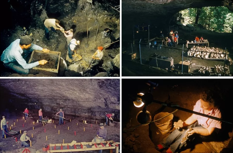
The Tennessee Archeological Society excavated tons of artifacts, which were then submitted to the Smithsonian Institution and the National Geographic Society.

In 1961, the Russell Cave was designated as a national monument and was placed on the National Register of Historic Places in 1966. The name itself comes from a Revolutionary War veteran, Thomas Russell, who owned land in the Russell Cave area!