Old Maps, New Technology
Georeferencing UVic's historical maps helps give new life to these important pieces of the historical record.

Why Look at Historical Maps?
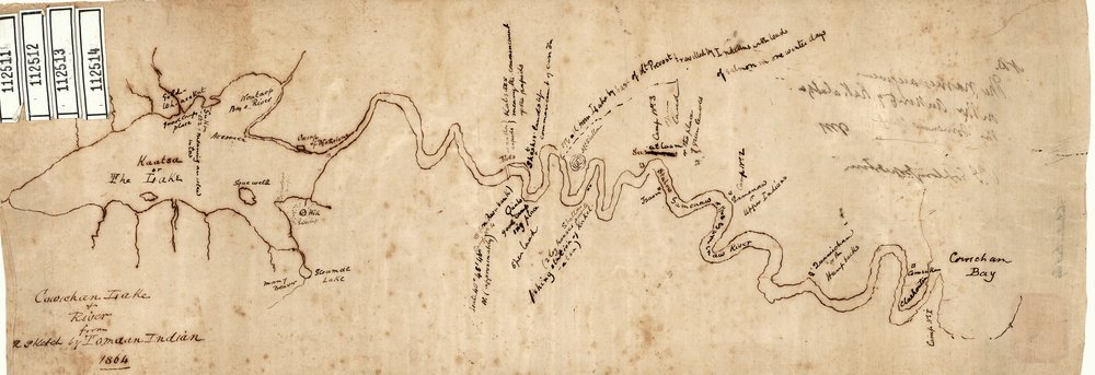
Historical maps provide a fascinating window into the past. Looking at these documents can help to provide many insights, including past land uses, the locations of historical cultural and natural features, and environmental change over time. They can be used to reconstruct the past, serve as records of historical events or processes, and illustrate the worldviews of the people and societies that created them.

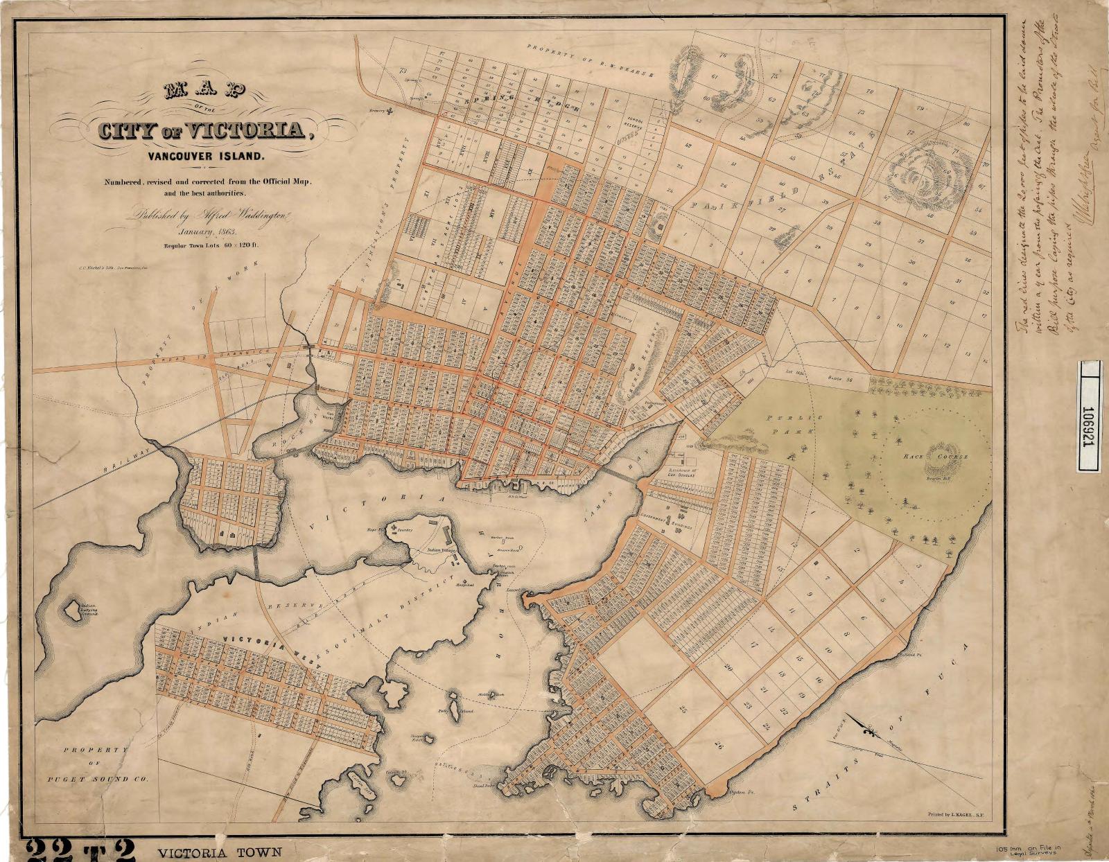
Map of Victoria from 1863 (Waddington, 1863).
UVic's library hosts an impressive collection of historical maps, and is continuing to grow their collection. Over the years the library has been working on digitizing these maps in order to make them accessible to the broader public. The maps cover a wide range of geographies, time periods, and subject matter and are available to the public for viewing and download. Click the button below to explore the collection in Vault.
Georeferencing Historical Maps
The process of georeferencing involves aligning spatial data to a geographic grid. Essentially this means taking a digital image, such as an aerial photo or a historical map, and adding geographic information to place the image in its real world location. This can be done in a Geographic Information System (GIS), by assigning pixels in the image geographic coordinates.
The map below is an example of the final product of georeferencing a historical map; this map of the Victoria area from 1854 is overlaid on present-day satellite imagery. Swipe back and forth to compare the two maps - UVic campus can be seen in the upper right corner.
Left: 1854 map of Greater Victoria (Arrowsmith, 1854). Right: present day satellite imagery of Greater Victoria.
Georeferencing historical maps allows us to visualize these materials in geographic space. Once the material has been georeferenced we are able to:
- Easily view the historical map over a present day image, allowing for visual comparison of change over time (as in the image above)
- Transfer features from these maps into GIS, which can facilitate data analysis, research and education initiatives
- Add vertical (z) values to create a 3D representation of the historical terrain
- And more!
The process can provide incredible insights into the past, and give us a window into changes through different periods of history. For example, the slider below created by Daniel Brendle-Moczuk, UVic's Geospatial & Statistics Canada Data Librarian, shows the development of the UVic campus. Move the slider at the top left to see how the campus lands have changed over time.
UVic Ring Road via airphotos (Brendle-Moczuk, n.d.)
UVic Library & the Map Shop - Historical Maps Project
The Map Shop has partnered with the UVic Library to begin georeferencing historical maps in UVic's collection. These materials will be available to UVic students and members of the public who are interested in using these maps for their own research or education initiatives.
Get Involved!
Interested in getting some hands on experience using GIS and georeferencing historical maps? Curious about how the whole process works? The Map Shop is looking for student volunteers to assist with the Historical Maps Project. We offer tutorials and training. See some cool maps and gain some experience with GIS, it's a win-win!
For more information email carlypalmer@uvic.ca, or send us a message on Instagram .