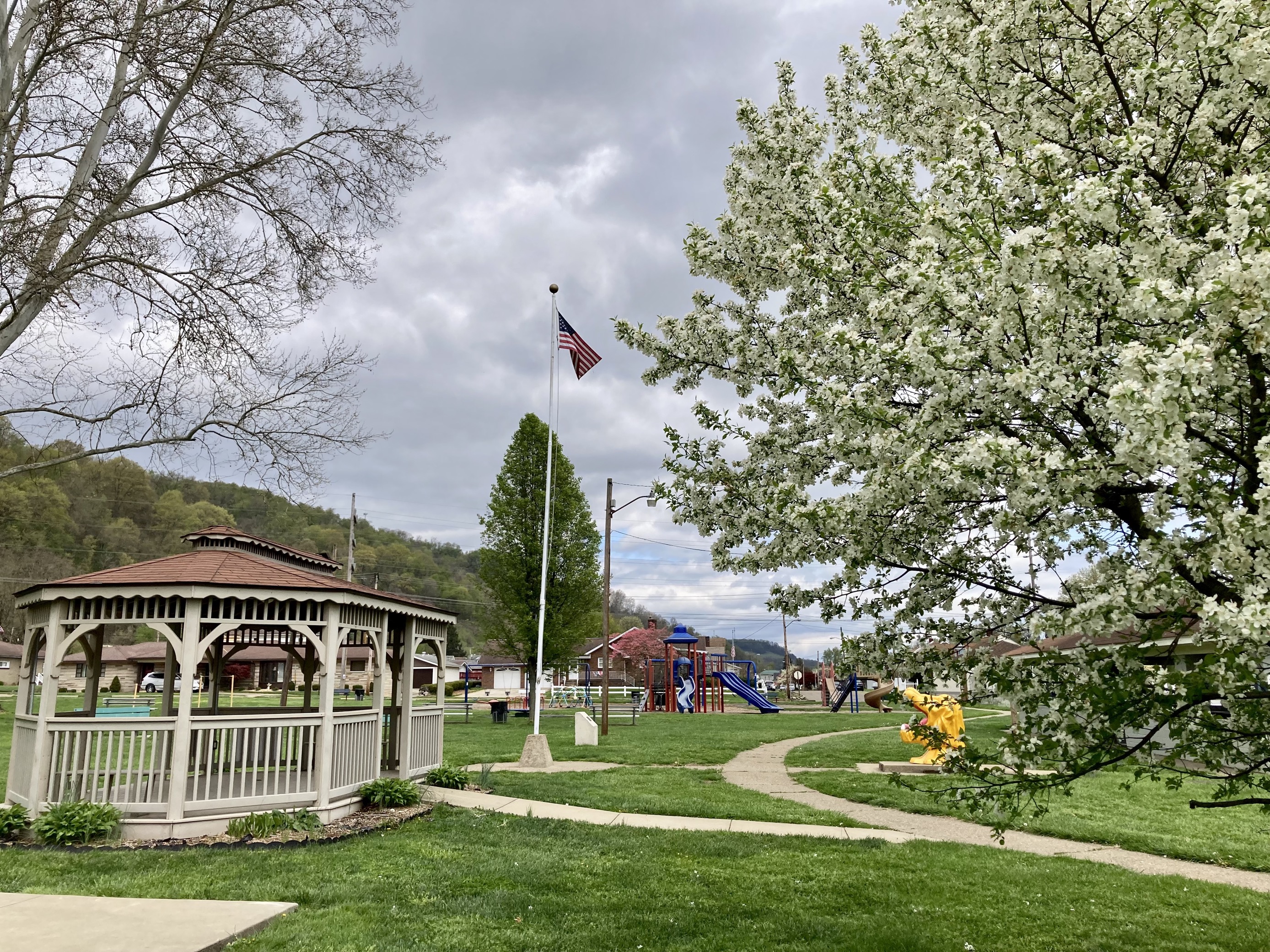

Yorkville, Tiltonsville, Rayland Active Transportation Plan
Preliminary Recommendations for Feedback
The purpose of this Story Map is to show preliminary recommendations and gather feedback and suggestions.
An Active Transportation Plan (ATP) identifies potential programs, policies, and infrastructure improvements to meet the needs of people walking and biking.
How to use this Story Map:
Navigate on the map with your mouse or touch screen and use the zoom in and out tools on the bottom right hand corner.
To view a recommendation click on one of the points or lines on the map. This will give you a pop-up screen.
Click the "View" links to look at the location from Google Street View, or find out more information about the type of recommendation. Scroll down on the popup to see a Google Street View image of the location.
After reviewing the map, take the survey below the map to provide input about the projects. Feel free to take the survey as many times as you'd like.
YTR ATP Recommendations
After reviewing the recommendations on the map, provide feedback in the survey below.
YTR ATP Public Survey
Have more questions?
Contact Ella Donley, Transportation Planner at Burgess and Niple
Email: ella.donley@burgess.niple.com
Phone Number: 614.459.2050 x7497