
Current Wildfires
Networks of sensors linked to networked computing enable us to continually monitor—and map—the State of Texas.
Current wildfires
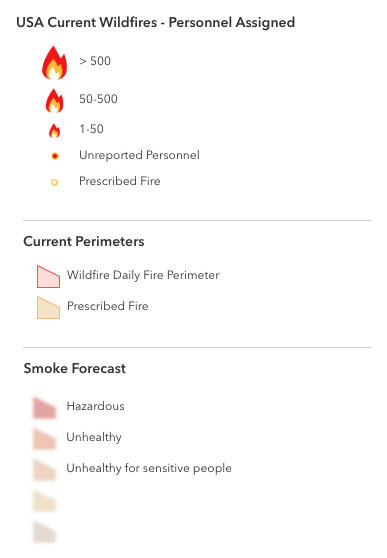
This map presents locations and perimeters of wildfires over the past seven days. The size of the flame symbols is proportional to the number of firefighters assigned to the fire; popups provide additional information. Zoom in to view fire perimeters. Perimeters are the lines surrounding land that has been affected by a wildfire.
Wildfire locations are provided by the Integrated Reporting of Wildland-fire Information (IRWIN), a collaboration among federal, state, and local agencies. The data are updated every 15 minutes.
The smoke forecast is for the next 48 hours. It is updated daily and is provided by the National Weather Service.
Networks of linked sensors enable us to continually monitor—and map—fire conditions across the state.
More information about current wildfires: