Storymapping the Esri UC
Meet the new ArcGIS StoryMaps and get the top five storytelling takeaways from the 2019 Esri User Conference

You, and a host of fellow storytellers, have created nearly a million story maps with our classic Esri Story Map templates—as briefings and reports, as instructional materials, as travelogues, and as calls to action. With the general availability of ArcGIS StoryMaps, we on the StoryMaps team are eagerly forging ahead into the future of storytelling. We invite you to join us!

Explore Esri's next generation of storytelling -- ArcGIS StoryMaps .
Get started with our five takeaways from the 2019 Esri User Conference.

The new ArcGIS StoryMaps has arrived.
There are great new resources on hand to get you started with ArcGIS StoryMaps.
The team built the new ArcGIS StoryMaps based on feedback from storytellers, just like you.
Storytellers using the classic Esri Story Maps templates can rest easy.
We have the BEST storytelling community.


The new ArcGIS StoryMaps has arrived.
Jack Dangermond introduced the new ArcGIS StoryMaps during the UC plenary session, adding . . .
Story maps are my favorite.
ArcGIS StoryMaps on Twitter
Esri's Jennifer Bell, data wizard and storyteller, then walked through the new StoryMaps product features as she recreated National Geographic's Mapping Mount Everest story in real time. And the Esri Twitterverse responded.
Sathya Prasad on Twitter
ArcGIS StoryMaps on Twitter
Allen Carroll on Twitter
Glenn Letham on Twitter
Dawn Wright on Twitter
carla wheeler on Twitter
Missed the plenary presentation? No problem - watch the video here.
ArcGIS StoryMaps
There are great new resources on hand to get you started with ArcGIS StoryMaps.
ArcGIS StoryMaps on Twitter
The team led standing room only workshops and technical talks at the Esri UC and Education Summit. Browse the presentations and related resources as an introduction to the new StoryMaps and storytelling.
Looking to create your first story map?
Here's a step-by-step guide to using the ArcGIS StoryMaps builder. Getting Started with ArcGIS StoryMaps.
Browse presentations.
Bookmark our cheat sheet.
The Anatomy of a Story breaks down one story into a simple ArcGIS S toryMaps reference guide, with basic information and pro tips.
Looking for great ArcGIS Storymaps examples? Need a little inspiration? Look no further than our new website .
Visit the Explore Stories page for weekly reads, featured storytellers, and story albums complete with themed stories and related resources:
In no time, you'll make beautifully crafted stories like the ones featured in the Esri UC plenary.
Mapping Mount Everest
Alex Tait, The Geographer at the National Geographic Society, describes a recent expedition to Mount Everest to map Khumbu Glacier and Base Camp.
National Geographic on Twitter
Managing Protected Areas
An array of field apps and online resources empowers conservationists and protected area managers to more effectively protect natural habitats.
Esri on Twitter
Half-Earth Project
Scientist and conservationist E.O. Wilson has inspired an effort to set aside half of Earth's lands and oceans.
Esri on Twitter
Engage-Listen-Understand-ACT
Jane Goodall's "TACARE" approach to conservation inspires and recruits local communities to lead efforts to conserve natural lands and species.
JaneGoodallInstitute on Twitter
The team built the new ArcGIS StoryMaps based on feedback from storytellers, just like you.
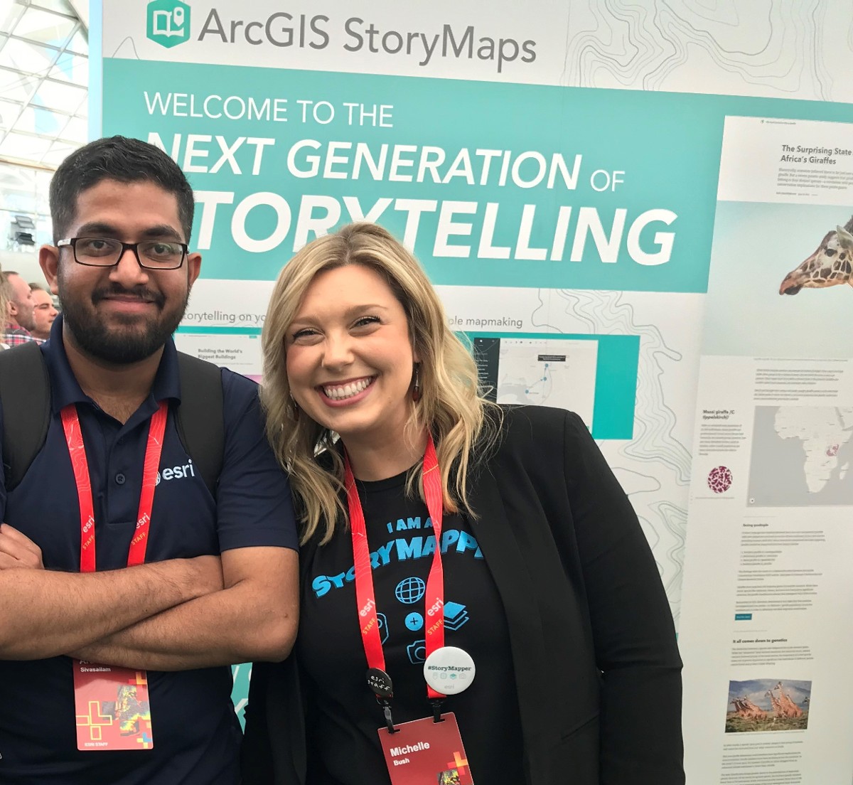
Esri UC crowds filled the StoryMaps Spotlight Theater to learn about the new features.
The block palette brings all parts of a story together into one integrated experience.
If you're familiar with the classic templates, there's no longer any need to "pick an app" and one layout. Now you can mix and match and change at any time.
Express maps = simple mapmaking.
A new map designer allows you to add basic info and annotation to a map in seconds.
You can still use web maps and web scenes—they even have enhanced capabilities.
An Overview of Express Maps
Top-notch design is baked in.
Beautiful themes can be applied with one click to instantly change colors, background, fonts, and express maps.
A dedicated design panel makes the look easy to change. You can even customize things like accent color and font pairing.
Draft and publish stories, easily.
Make, autosave, and publish stories to your organization and the world.
You can even edit published stories without affecting the version everyone else sees until you're ready.
Publishing and Sharing Stories with ArcGIS StoryMaps
Fast loading, easy sharing, and great looking.
We've done a ton under the hood to make everything work smoothly. Sharing on social media has never looked better or been easier.
Read more in the Promoting Your Stories presentation.
Find additional training resources and product documentation on the Resources page of our website.
Storytellers using the classic Esri Story Maps templates can rest easy.
The ArcGIS StoryMaps road map highlights milestones in the transition plan and a comparison of product features.
Learn more in our story created specifically for existing storytellers who use the classic Esri templates— Moving to the new ArcGIS StoryMaps .
We have the BEST storytelling community.
Amanda Huber on Twitter
There are so many ways to connect with us!
Get storytelling tips, new ArcGIS StoryMaps announcements, and helpful resources directly from our team.
Filter this searchable gallery for 2019 Esri UC story maps, and see work by Mihir and other storytellers from the Map Gallery.
Allen Carroll on Twitter
Allen Carroll on Twitter
ArcGIS StoryMaps on Twitter