Rhode Island Recreational Fishing Tool
Identifying Recreational Fishing Use in Rhode Island State Waters
Overview
Recreational fishing is an important community and economic activity across Rhode Island. In fact, in 2016, saltwater fishers spent a total of $ 103 million in the state (The Value of Rhode Island's Blue Economy) . This tool was created to identify valued recreational fishing locations in Rhode Island state waters. In combination with other coastal datasets, it serves as a resource for recreational anglers. The tool will also help the state better understand the needs of recreational fishing communities and inform future decision-making on coastal policy and management.
Partners and Collaborators
This tool reflects collaboration among:
Rhode Island Coastal Resource Management Council ( RICRMC ) The RICRMC is the state agency tasked with managing and regulating activities that occur on and near the Rhode Island coast. The RICRMC mission is to “preserve, protect, develop, and where possible, restore the coastal resources of the state for this and succeeding generations."
Rhode Island Saltwater Anglers Association ( RISAA ) RISAA is a non-profit organization that represents over 7500 recreational fishers in Rhode Island, Massachusetts, and Connecticut. The work includes advocacy, education, conservation, and fostering cultural stewardship of fishing values.
Rhode Island Department of Environmental Management ( RIDEM Marine Fisheries ) The mission of RIDEM is to "protect, restore, and promote our environment to ensure Rhode Island remains a wonderful place to live, visit, and raise a family."
University of Rhode Island Coastal Resources Center ( URI CRC ) Around the world, CRC works with communities and citizens to become more effective stewards of their shores and seas. Partnering with scholars and stakeholders, CRC applies science and empowers communities through collaboration and capacity building.
United States Environmental Protection Agency ( US EPA ) The US EPA is a federal agency that works to protect human health and the environment through research, education, development and enforcement of regulations, and partnerships with private, public, and non-profit organizations.
Rhode Island Sea Grant ( RISG ) RISG is one of 34 programs in the National Sea Grant College Program working to enhance environmental stewardship and long-term economic development and responsible use of coastal and marine resources.
University of Rhode Environmental Data Center ( URI EDC ) The Environmental Data Center (EDC) is a Geographic Information System (GIS) and geospatial data analysis laboratory in the URI Department of Natural Resources Science, College of the Environment and Life Science (CELS). The mission of the EDC is supporting the use of contemporary tools for spatial data processing and electronic dissemination in the analysis, visualization, and distribution of geographically referenced data.
Explore the Tool
Recreational Fishing Survey, 2023: Summary
How to Use the Tool
Navigation: Click and drag the map to view different areas. Zoom in using the scroll wheel on your mouse, or the plus and minus icons in the upper left corner of the map frame.
The tool displays locations of importance to saltwater fishers over navigational charts from NOAA. Additional data layers are visible, and can be turned on or off using the layers icon. This is the second icon down in the upper left corner of the map menu. Once adjusting the layers to be viewed, return to the legend by clicking the icon above the layers icon.
What do the layers mean?
This tool has a number of datasets provided by valued partners and organizations, including results from the survey conducted to interview people who fish in Rhode Island salt waters.
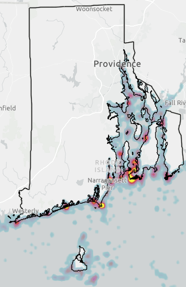
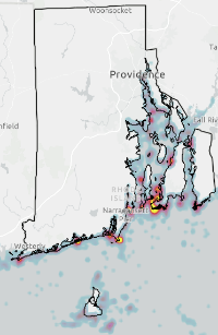
The tool shows important fishing locations in the form of a heat map. Yellow indicates the highest number of responses in a given area. Red indicates moderate response. Purple and blue indicate fewer responses, but it is important to note that these data are not representative of all the important recreational fishing locations in state waters. Fewer responses at a given location should not be interpreted as the site having low importance.
Fishing hotspots along the south shore from left to right: Quonochontaug, Charlestown, Galilee, Point Judith.
Recreational fishing hotspots are shown in yellow. Hotspots left to right: Galilee and Point Judith (Narragansett); mouth of the Narrow River (Narragansett); southern Jamestown; and southern Newport extending north into the East Passage.
Recreational fishing use is widespread throughout the state, including Block Island (left) and upper Narragansett Bay (right). Hotspots in northern Narragansett Bay, top to bottom: Weaver Cove, Portsmouth; Sakonnet River, Tiverton/Portsmouth; and Rocky Point, Warwick.
In addition to selecting specific grid cells for their most important fishing areas, survey respondents were asked to note any region of Rhode Island salt waters within which they fish.
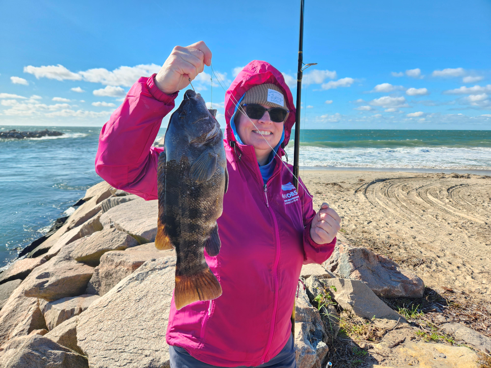
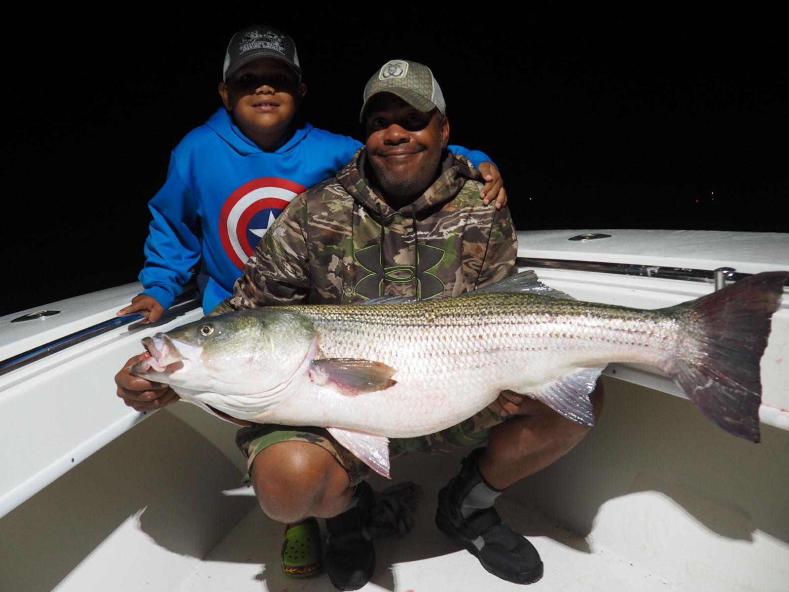
Survey participants were also asked about the species of fish that they target.
Research Methods and Approach
Phase 1: Define Project Scope
In partnership with the organizations mentioned above, similar tools and data sets were reviewed and assessed to build upon existing expertise and minimize redundancy. The following are examples of related tools and datasets the group reviewed:
The Rhode Island Marine Recreational Information Program Data: The NOAA Marine Recreational Information Program public database offers information about fishing sites including directions, maps, parking, marina details, fishing mode, and conditions. To explore this tool, visit NOAA - MRIP Survey Directories and click “Guest Login," then zoom to Rhode Island or specify the location in the search bar. These data are used primarily to direct random sampling for the Access Point Angler Intercept Survey ( APAIS ).
Rhode Island Sea Grant Shoreline Access Data: Throughout Rhode Island’s 400 miles of coast, there are public rights-of-ways to ensure accessibility to the shoreline. Rhode Island Sea Grant has created Shoreline RI to help people learn about specific places for coastal users to access a broad variety of activities. These include boating, fishing, swimming, wildlife watching, hiking, sports, sightseeing, and many more.
Narragansett Bay Estuary Program Coastal Use Data: The Narragansett Bay Estuary Program ( NBEP ) gathered anonymized location data from mobile devices to document and analyze 2.5 million visits to public coastal access sites in summer 2019. To learn more, visit How Do We Use Our Coasts? , a StoryMap by NBEP. NBEP also provides a hub of publicly available GIS data .
Recreational Use of Coastal Access Sites in Narragansett Bay: This research by Tracey Dalton, a University of Rhode Island (URI) social scientist and director of Rhode Island Sea Grant (RISG) and Ken Hamel, a PhD candidate at URI, involved surveying coastal users at 17 public access sites to better understand how people use and perceive environmental conditions and built infrastructure at these locations. Coastal access and recreational fishing are closely tied issues; understanding them will build knowledge for recreational fishing.
Artisanal Fishers and Local Food Security in Rhode Island: This research explores and documents the important roles that artisanal fishers play in local food systems by providing food for their communities. Artisanal fishers are described as fishers who use traditional and labor-intensive methods for recreational and subsistence purposes.
Phase 2: Research Methodology and Survey Design
Purpose:
In order to create the tool, we conducted a survey to document valued recreational saltwater fishing locations in Rhode Island state waters.
Intentionality in Study Design
The purpose of this approach is not to reveal individual sites but to gather a sense of overall fishing activity. Therefore, the survey was designed with the recognition that fishing sites are personal, and that fishers want to protect locations that are important to them. Responses were used to create an aggregate map of saltwater fishing areas throughout Rhode Island.
On-the-ground Survey Methods
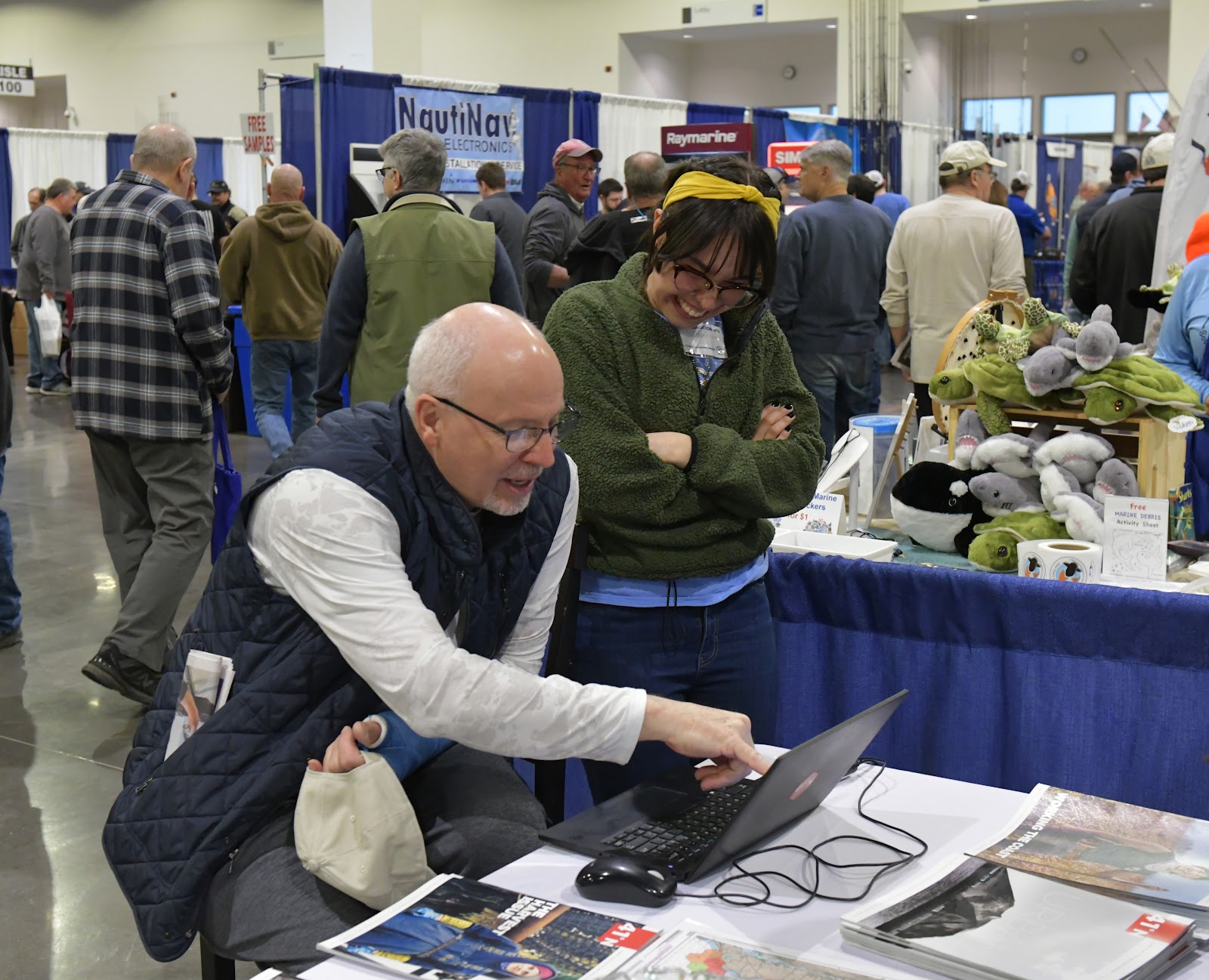
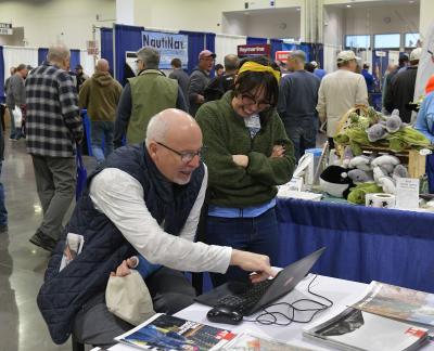
The survey launched at the New England Saltwater Fishing Show in March 2023. In Summer 2023, the project team visited five coastal survey sites, two fishing tournament events, and two fishing tackle and bait shops.
In addition to gathering geographic data, the survey also included questions about frequency, seasonality, gear type, coastal access method, target species, and demographic information.
Phase 3: Developing the Sustainable Recreational Use Tool
The core team selected three priority uses for this data:
- Serving as a key component of a tool that would help RICRMC and other state agencies implement sound management actions and assist resource users with their ability to enjoy and access state waters.
- Supporting existing tools and datasets. The data is stronger when combined with other information about coastal uses and resources.
- Spreading the word about the database so other fishers and coastal users can benefit.
If you would like to learn more about this project, please reach out to the Rhode Island Coastal Resources Management Council by emailing cstaff1@crmc.ri.gov.
